


Doctrine-True Land Navigation Training Manual - Field Tan
13 sold in last 24 hours
This land navigation manual is the real U.S. Army FM 21-26 content in a field-ready, tan softcover built for training, not coffee tables. Clear instruction on grid coordinates, azimuths, terrain association, and pace count turns map reading into repeatable skill. Ideal for classes, ROTC, SAR teams, and group training, it gives every student the same doctrine you can teach, test, and trust.
Ranger-Ready Land Navigation Manual – What You’re Really Getting
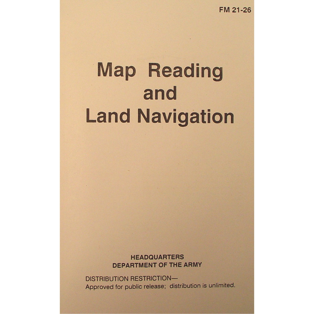
This isn’t a coffee-table “survival” book. The Ranger-Ready Land Navigation Manual - Field Tan is a straight reprint of the U.S. Army FM 21-26 Map Reading and Land Navigation manual, in a field-tough softcover you can actually train with. If you run land nav courses, prep students for selection, or want doctrine-accurate skills, this puts the full program in their hands for the cost of a single training aid.
Every page is built around one goal: turning map, compass, and terrain into confident, on-the-ground decisions. No fluff, no filler—just the same material warfighters have used for decades.
Field-Proven Land Navigation Training Manual You Can Trust
Because this is drawn directly from U.S. Army FM 21-26, you’re working with doctrine that’s already been vetted, taught, and tested at scale. The layout, terminology, and progression match what soldiers see in formal instruction—making it perfect for mirroring real-world standards in your own training.
The field-tan cover keeps shine down and blends with kit, while the black text follows the familiar military manual style. It looks like what it is: an operational training tool, not a marketing piece.
What’s Inside This Map Reading and Land Navigation Manual
Buy this land navigation manual and you’re buying a full curriculum, not a quick overview. Chapters walk students from basic map reading through practical terrain navigation with enough depth to build reliable habits.
Core Skills Covered in Detail
- Map basics: Marginal data, scales, contour lines, symbols, and how to pull real information from any standard topographic map.
- Grid coordinates: Step-by-step use of the military grid reference system (MGRS) so your team can plot and read exact locations under pressure.
- Azimuths and bearings: Converting between grid, magnetic, and true; shooting and following an azimuth with a lensatic compass.
- Terrain association: Navigating by major features instead of just numbers so you’re not defeated by a dead battery or lost protractor.
- Pace count: Establishing and using a personal pace count day or night to confirm distance covered.
Designed for Real Training Environments
- Classroom to field: Clear diagrams and examples that translate directly into practical exercises on your training lanes.
- Repeatable instruction: Every student can reference the same definitions, diagrams, and methods—no confusion, no mixed techniques.
- Durable softcover: Field-tan, perfect bound softcover that rides in a pack or clipboard without demanding babying.
Why This Manual is Worth Adding to Your Training Loadout
When you buy this map reading and land navigation manual, you’re not paying for glossy photos; you’re paying for a proven, structured way to teach and retain land nav skills. For individual buyers, it’s a low-cost way to lock in the same fundamentals taught in uniform. For instructors, it’s a practical solution for equipping entire classes without building your own material from scratch.
The manual covers the full decision chain: interpreting the map, planning the route, navigating with compass and terrain, and checking your progress with pace count and terrain association. That tight connection between theory and execution is why this format has remained in use for years.
Ready for Classes, Teams, and Bulk Orders
This land navigation training book was selected with programs and teams in mind. The straightforward, government-style layout makes it easy to assign specific sections as pre-read or homework. Students show up speaking the same language, understanding the same diagrams, and ready to run lanes instead of burning time on catch-up explanations.
ROTC units, law enforcement academies, SAR teams, and outdoor schools regularly standardize on this format because it’s predictable and scalable. One instructor can confidently reference page and paragraph, and every student can follow along.
What Buyers Ask Before Purchasing This Land Navigation Manual
Is this land navigation manual worth the price?
Yes—if you need reliable, standardized land nav instruction, this manual easily justifies its spot in your budget. You’re getting the full FM 21-26 content: grid coordinates, azimuths, terrain association, and pace count explained in a way that can be taught and tested. Instead of building your own handouts or piecing together online notes, you hand your people one book that has already been refined through decades of military use. For outfitting an entire class or unit, it’s one of the most cost-effective training tools you can issue.
Is this land navigation manual legal to own and use?
Absolutely. This is a reprint of a U.S. Army field manual that is explicitly marked “Approved for public release; distribution is unlimited.” There are no restrictions on owning, using, or teaching from this book. It’s suitable for civilian training programs, youth groups, ROTC, law enforcement, and private courses without any special permissions required.
How fast does this ship?
This land navigation manual is stocked for training demand and ships quickly. Orders placed on business days typically leave the warehouse on the next processing cycle, so instructors and teams can count on having material in hand ahead of scheduled courses. If you’re outfitting a large class or multiple groups, you can plan your training calendar knowing this title is treated as a standard, in-stock item—not a special-order book.
Why Instructors and Serious Students Keep Coming Back to This Manual
The reason this land navigation manual keeps finding its way into rucks, classrooms, and briefing rooms is simple: it works. The doctrine-based approach doesn’t depend on one instructor’s memory or style; it’s written, diagrammed, and laid out in a way that can survive instructor turnover and student rotation.
Serious buyers aren’t guessing—they’re choosing a manual that looks, reads, and functions like the real thing because it is drawn from the real thing. The field-tan softcover blends with gear, the content matches military standards, and the structure supports both classroom discussion and hands-on evaluation.
Close the Loop on Your Land Nav Training
If your goal is to move people from “I sort of understand maps” to “I can get from start to end and prove how I did it,” this is the missing piece. One manual per student creates a consistent baseline, cleans up your instruction, and gives them a reference they can keep reaching for long after the course ends.
Add the Ranger-Ready Land Navigation Manual - Field Tan to your training loadout today and lock in doctrine-backed, repeatable land nav instruction that matches the standard you expect in the field.